
GeoNaksha LLM
Purpose-built AI that cleans, enriches, and decodes India's most complex addresses into precise, structured location intelligence.
AI-powered mapping built for India's addresses, roads, and realities
Purpose-built AI that cleans, enriches, and decodes India's most complex addresses into precise, structured location intelligence.
Exact coordinates grounded in 4 billion real deliveries across 18,800+ Pin Codes - not interpolated guesses.
Routes tuned to Indian roads, traffic, and vehicle constraints - learned from a billion daily GPS pings.
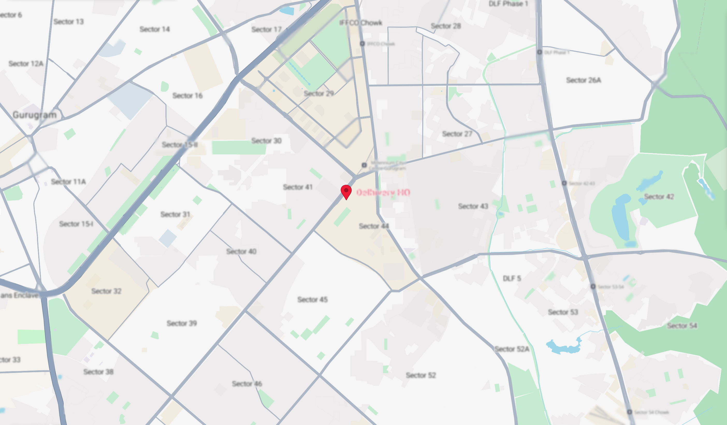
The infrastructure that fully replaced legacy map providers across Delhivery's entire national network - running in production every day.
Enterprise-grade mapping at a fraction of legacy API spend.
Convert addresses into precise geographic coordinates (latitude/longitude). GeoNaksha LLM intelligently interprets informal or incomplete address details, landmarks, and localities to deliver map coordinates.
PlaygroundPowered by GeoNaksha LLM's agentic intelligence, Reverse Geocoding converts coordinates into human-readable addresses by understanding landmarks, neighborhoods, and location details.
PlaygroundDriven by GeoNaksha LLM, our proprietary suite of fine-tuned models, Validates address components, standardises the address, and corrects it - making it ready for downstream use.
PlaygroundThe Delhivery Maps MCP server exposes our core location APIs and GeoNaksha LLM - our suite of fine-tuned models - as MCP-compatible tools. Together they give AI agents advanced spatial intelligence: accurate geocoding, routing, and real-world location reasoning, so applications can understand proximity, direction, and physical context at scale.
PlaygroundThe Routing API computes the most efficient paths between multiple locations by analyzing real-time traffic, road networks, and turn restrictions. Supporting various modes, including two-wheelers, auto and truck, it delivers precise directions and travel times tailored to specific vehicle types.
PlaygroundThe Distance Matrix API quickly computes travel times and distances across multiple origin-destination pairs, delivering accurate route data for proximity analysis and logistics optimisation.
PlaygroundPredict user intent with every keystroke. The Autosuggest API provides real-time, context-aware location results, helping users find the right destination before they even finish typing.
PlaygroundBuild better maps, faster. From custom styling tools to seamless cross-platform deployment, our platform gives you everything you need to turn coordinates into journeys users will love to explore.
PlaygroundPowering India's logistics backbone with precision mapping, real-time intelligence, and nationwide coverage.
Daily Active Fleet
Location Pings Processed Daily
Daily Deliveries
18,800 Pin Codes
Delhivery Maps is an AI-first location intelligence and mapping stack designed specifically to navigate the complexities of Indian geography. Originally built to power India's largest logistics network, we are now opening up our proprietary Geocoding, Reverse Geocoding, and Commercial Routing engines as standalone APIs for developers and enterprise businesses.
Delhivery Maps is built for agents, developers, product managers, data engineers, and operations teams across industries that rely heavily on location data. This includes e-commerce, quick commerce, food delivery, fintech (for KYC and address verification), ride-sharing, and supply chain logistics etc.
Geocoding API, Reverse Geocoding API, Address Standardisation API, Routing API, Distance Matrix API, Autosuggest API, Map Tiles API
GeoNaksha LLM is our proprietary suite of fine-tuned models, purpose-built to decode, cleanse, and structure complex Indian addresses into high-fidelity location intelligence. It serves as the core intelligence layer for applications and agents to
Yes. We feature a live API Playground right on our website. You can input your own unstructured text addresses, test our geocoding algorithms in real-time, examine the JSON input/output schemas, and evaluate the data quality immediately without writing any code.
Tell us a bit about yourself and your project - we will be in touch shortly.
Our customer success team is ready to help you with: